![]()
|
|
|
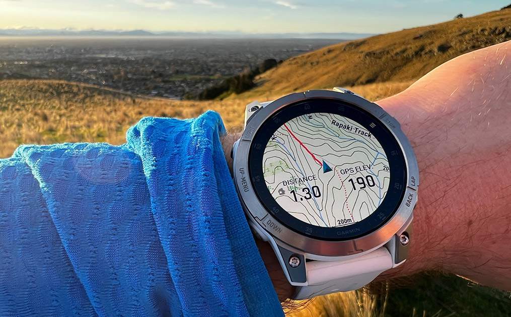
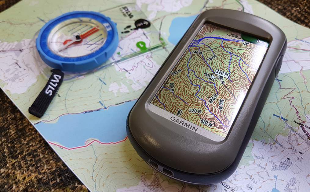
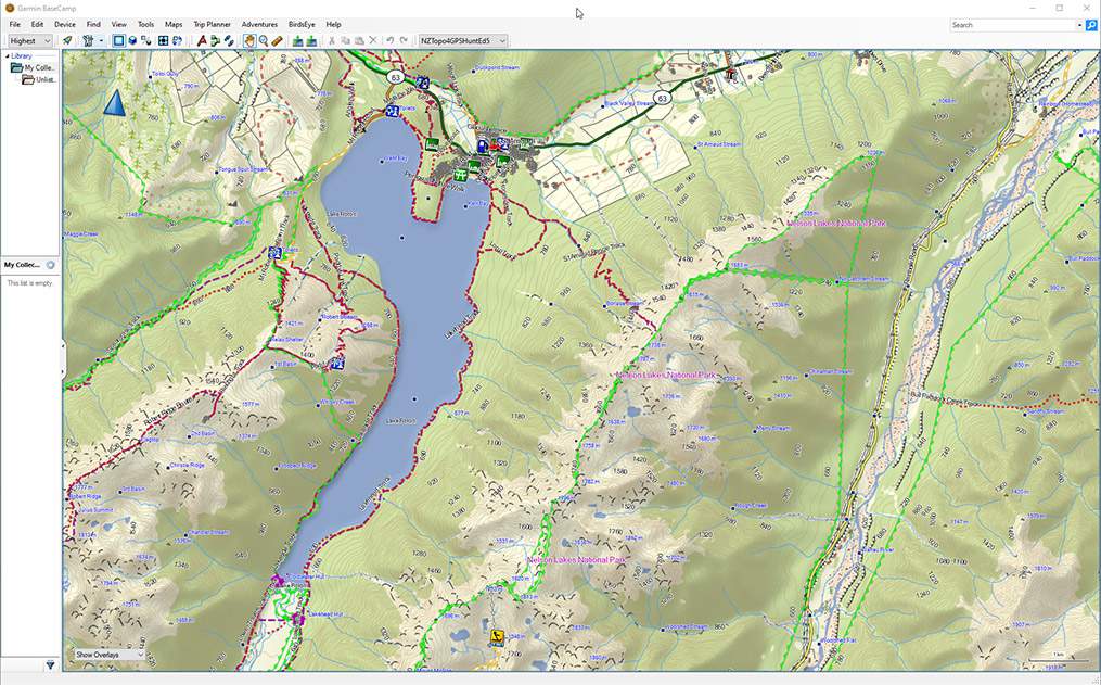
Topo4GPS© offers vector topographical mapping detail covering all of New Zealand for most map-capable Garmin® units, equivalent to 50k scale topo maps with tracks, huts, 20 metre contours, waterways, lakes, ground cover, fence lines, shelter belts, roads, railways and buildings. This special NZ Hunter edition also features public Department of Conservation hunting block boundaries - so using your Garmin® in the field you can be 100% certain whether or not you're within the permitted hunting block. Utilising this DoC information we're also able to highlight confirmed and maintained tracks, huts, campsites and more!
The retail version is ready for use with most map-capable and all x series hand-held Garmin® GPS units, such as the 60CSx, 62, 62s, 64, 65s, 66i/sr/st, 67i, Alpha 200i, eTrex®, Oregon®, Dakota®, Colorado®, Montana®, Rino®, Astro®, Edge® and Nuvi®. Download version available for use on PC or Mac, which can also send to your GPS's internal storage or your own SD card using Garmin's free BaseCamp™ software. Even works on some Garmin wearables such as the Fenix 5X/6/6X!
NB: Not compatible with Garmin inReach models that require DeLorme maps, or units - such as the Alpha 300 - that require Garmin's Outdoor Maps+ subscription.
|
|
|
All rights reserved. All trademarks acknowledged. |
